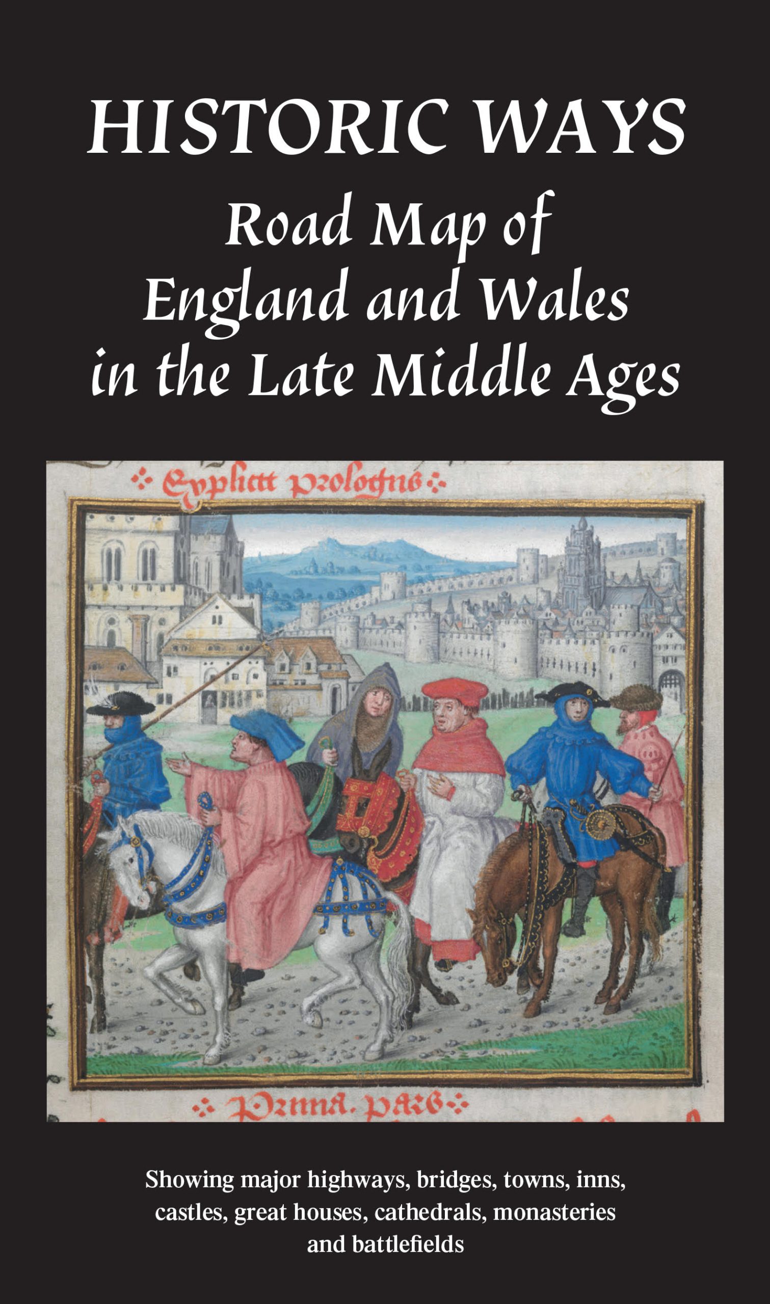
Dr David Harrison, long-time BAA member and former Council representative, has just published A Road Map of England and Wales in the Late Middle Ages (c. 1450–1500), a richly researched and beautifully designed large-format map that brings to life the transport networks and geography of the kingdom during the Wars of the Roses.
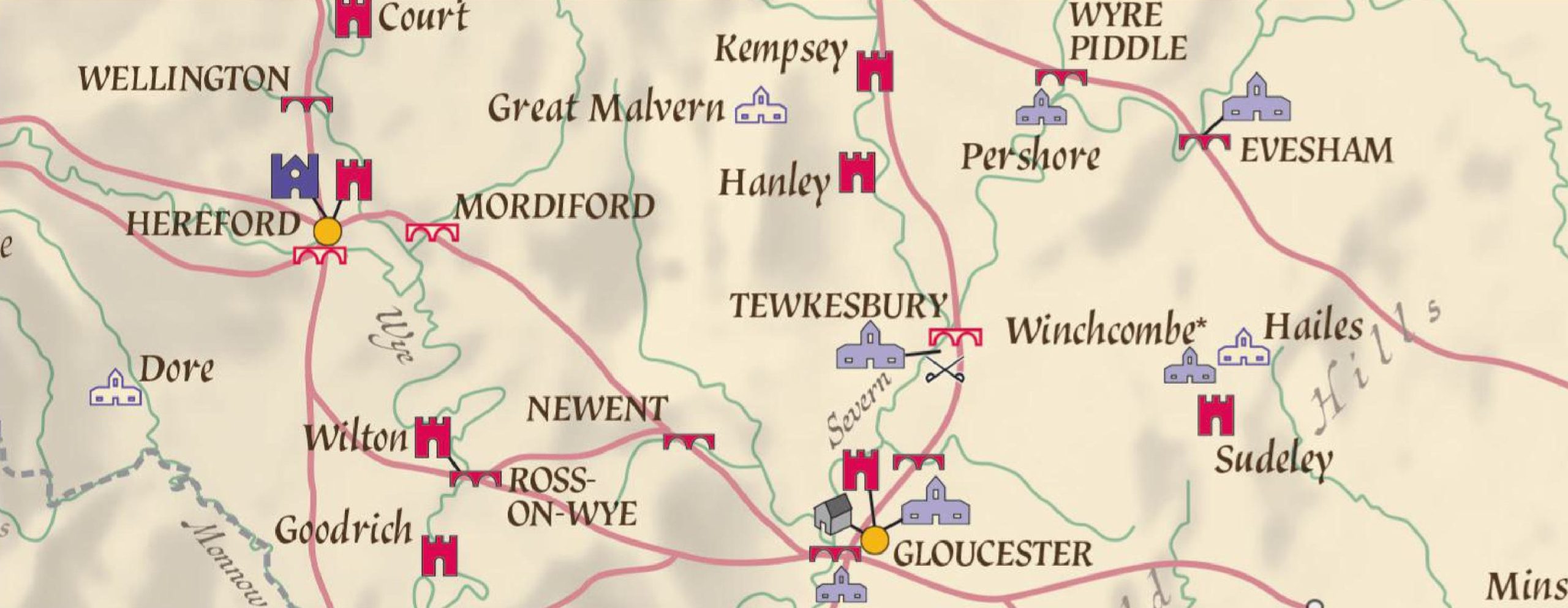
Printed on a single sheet (890 x 750mm), the map traces the major roads of the period. It marks key landmarks including bridges, cities, castles, monasteries, and even battlefields, many of which are clustered around principal north–south routes. Palaces, great houses, and sacred buildings are all clearly symbolised, while the sea is coloured green and adorned with ships and fish in a nod to the medieval Gough Map (Bodleian Library MS. Gough Gen. Top. 16) that inspired the design. The new map is based on a wide variety of evidence, including first-hand accounts of travellers of the period – such as the itineraries of William of Worcester and the antiquary John Leland.
The reverse side of the map features concise scholarly text panels offering new research on roads, travel, and prominent sites of the time, supported by contemporary photographs and historic prints. The map offers a vivid reminder of how different the landscape of late medieval Britain was: London towered in size over its neighbours, with only Bristol and Norwich reaching around 10,000 inhabitants, followed by a handful of towns with populations over 5,000, many now dwarfed by today’s urban centres.
The map is available for purchase at Stanfords in Covent Garden (and online) and online at Waterstones.
About the Author
Dr David Harrison is the author of The Bridges of Medieval England: Transport and Society 400-1800 (OUP, 2004), as well as numerous articles on medieval roads, bridges, and travel, including papers delivered at BAA conferences. Formerly a Clerk in the House of Commons (including service as Clerk of the Transport Committee), David is also co-founder of Footways CIC, which produces walking maps of London.
David has been a member of the BAA for over a decade and recently completed a three-year term on the Council. He has drawn on the expertise of fellow BAA members in the development of the map, with special thanks to Steven Brindle, John Goodall, Richard Halsey, Nigel Ramsay, David Robinson (for Wales), and Henry Summerson.
David will be giving the BAA Annual Lecture on Wednesday 7th January 2026, titled Mapping England and Wales in the Late Middle Ages.